Post by glactus on Sept 2, 2011 4:03:16 GMT

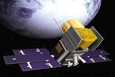
The Cloud and land Elevation satellite
NASA's Goddard space flight Center has selected Orbital Sciences to design, build and test the Ice, Cloud and land Elevation Satellite-2 (ICESat-2) Earth science satellite. Scheduled for launch in 2016, ICESat-2 is the next-generation successor to the original ICESat satellite, which operated from 2003 to 2010.

Icesat satellite in space
Orbital will base the ICESat-2 satellite on its LEOStar-3 platform, the same technology that is being used for NASA's Landsat Data Continuity Mission spacecraft, which is currently being assembled and tested at the company's Gilbert, Arizona satellite manufacturing facility.

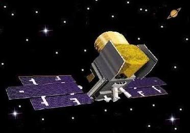
Looking at the Icesat satellite
ICESat-2 will use precision laser-ranging techniques to measure the topography of the Greenland and Antarctic ice sheets and the thickness of sea ice. The mission was recommended by the National Research Council in its 2007 decadal survey of NASA Earth science research priorities.
ICESat-2 supports NASA's Earth science program by helping sciences, develop a better scientific understanding of the Earth system and its response to natural or human-induced changes.
It also provided topography and vegetation data around the globe, in addition to polar-specific coverage over the Greenland and Antarctic ice sheets. The next-generation program, ICESat-2 will continue the scientific data collection with these specific objectives.
Credits: Icesat image by NASA/JPL
This is part text only. See full text and all scientists involved at Space daily.com.
www.spacedaily.com/reports/Orbital_Wins_ICESat_2_Earth_Science_Satellite_Program_Contract_999.html
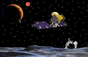
Space art by Glactus


